Laser
technology reveals lost city around Angkor Wat
Researchers find vast cityscape
hidden under deep vegetation linking the Cambodian temples complex.
Ref: The
Guardian ~ May 9, 2016
Airborne laser technology has
uncovered a network of roads and canals, illustrating the remains of a
bustling ancient city linking Cambodia's famed Angkor Wat temples complex.
The discovery was announced late
on Monday in a peer-reviewed paper released early by the Proceedings of
the National Academy of Sciences journal. The laser scanning revealed a
previously undocumented formal urban planned landscape integrating the
1,200-year-old temples.
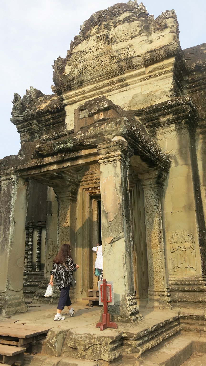
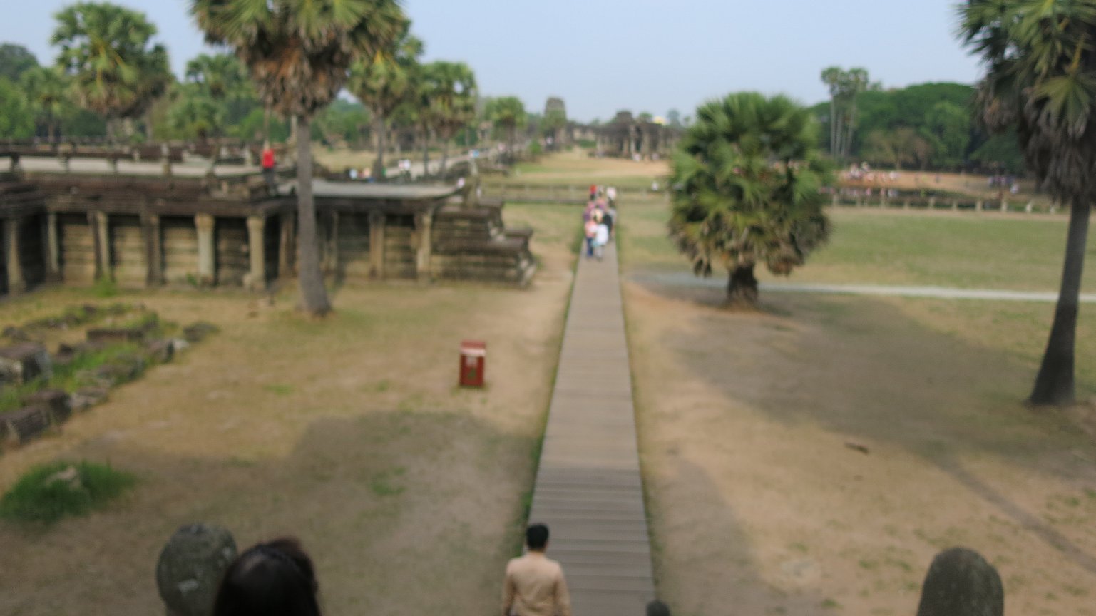
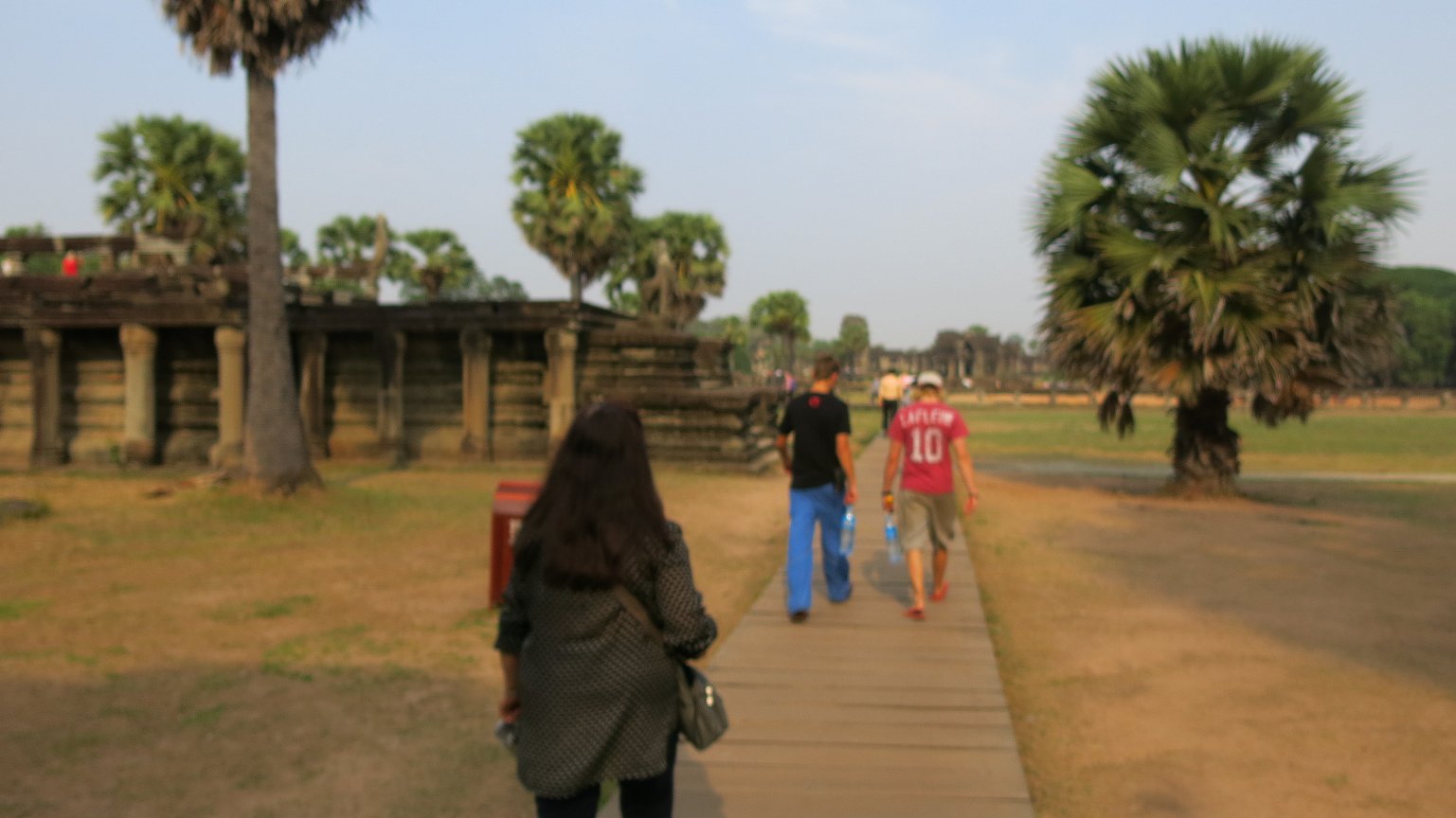
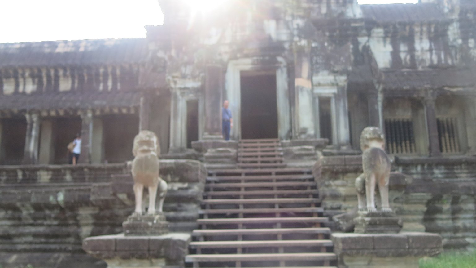
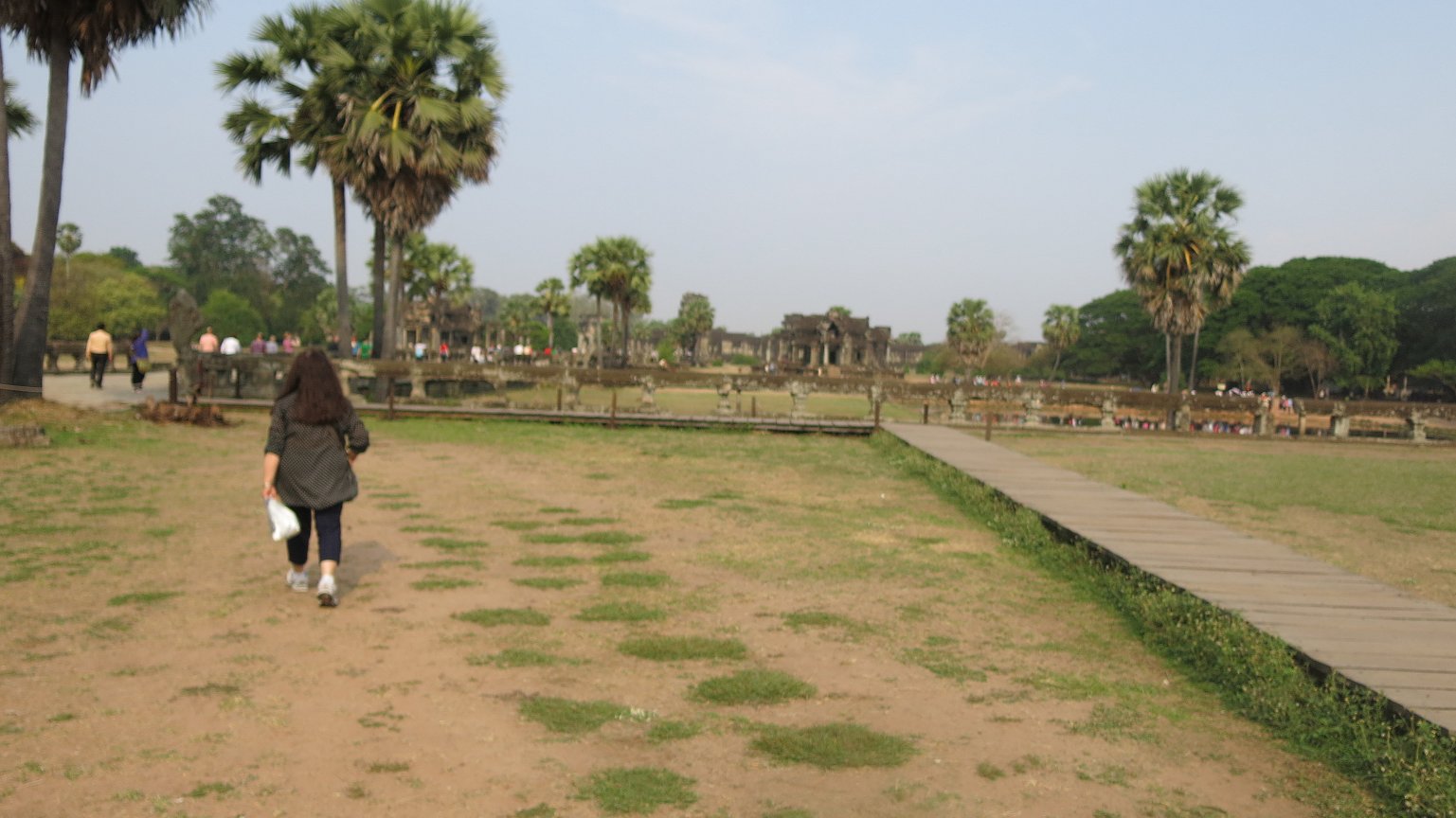
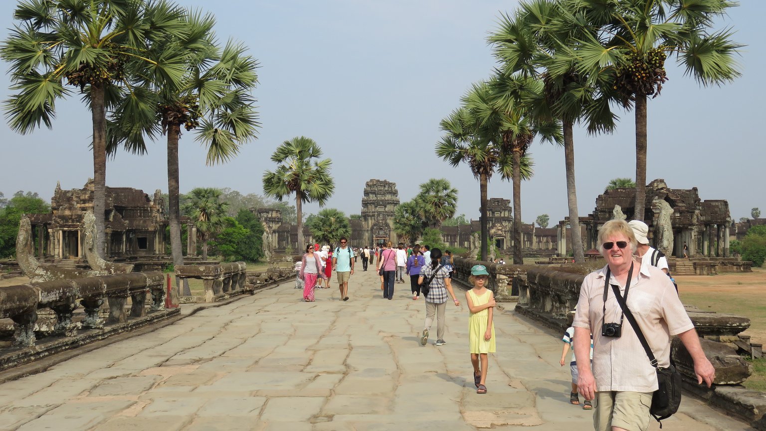
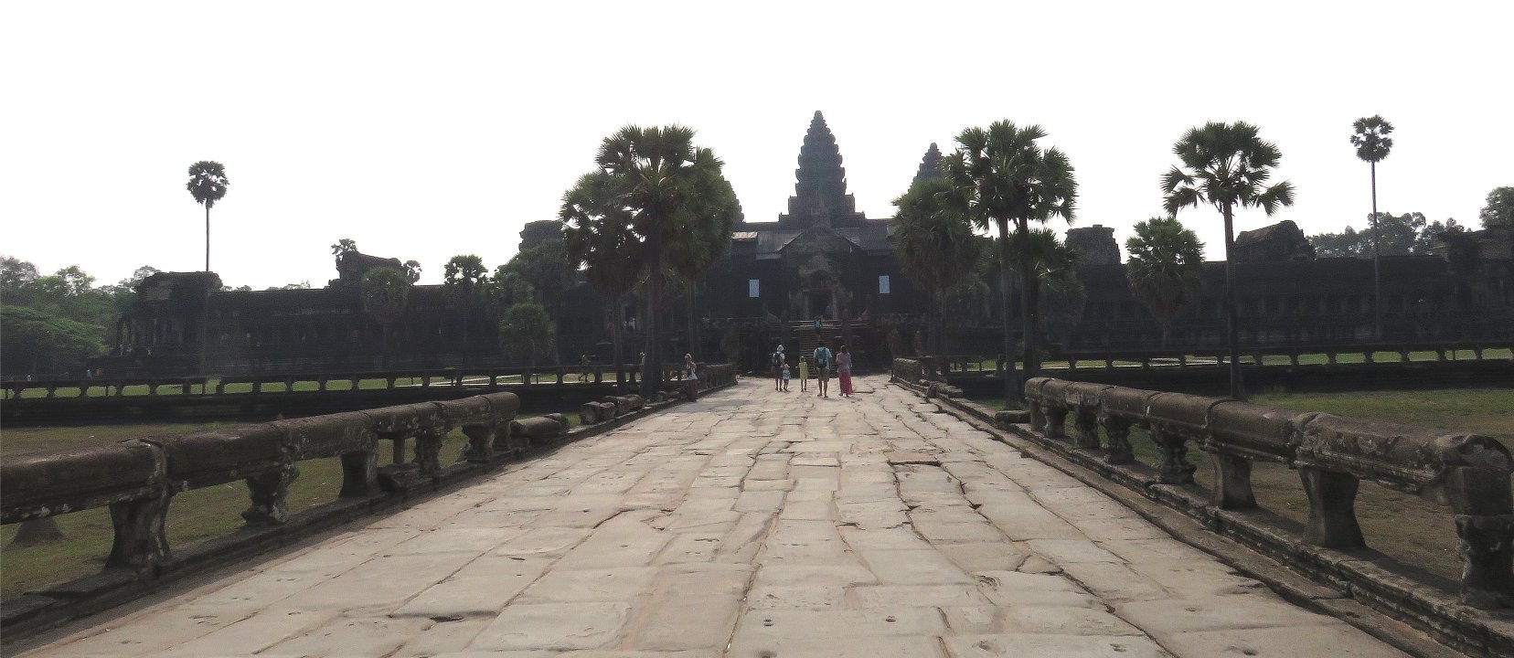
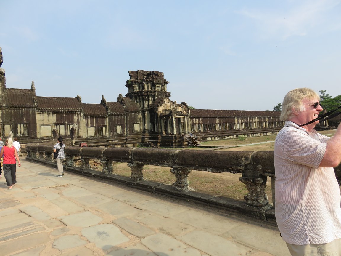
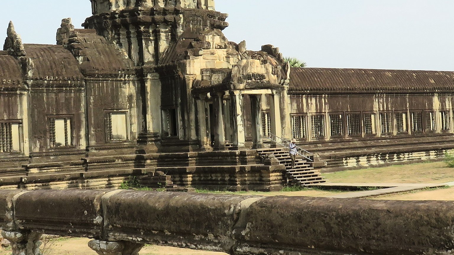
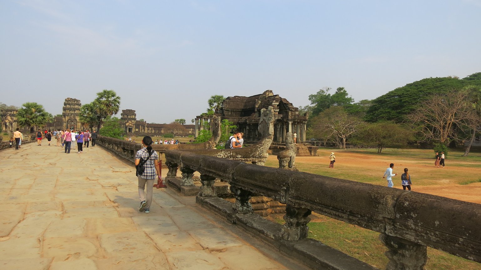
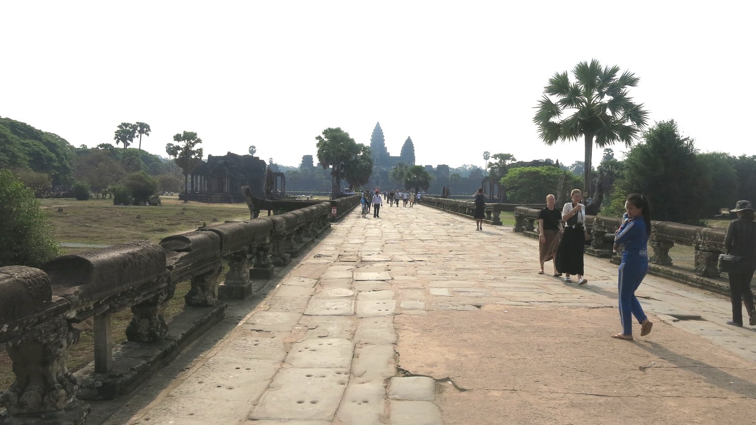
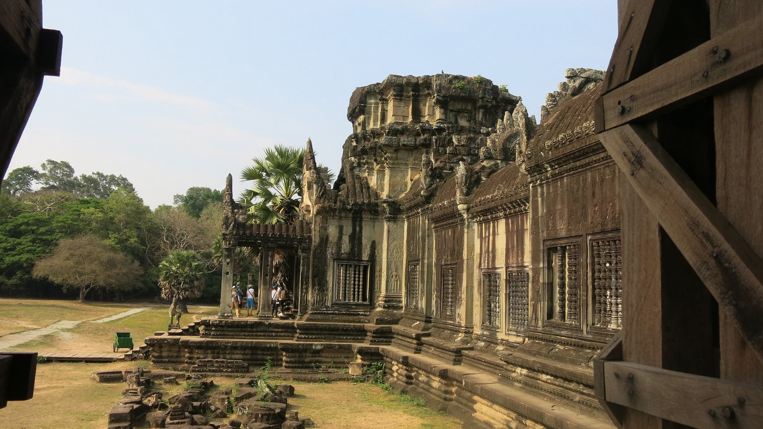
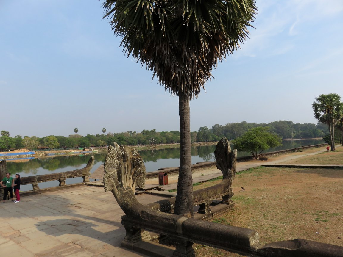
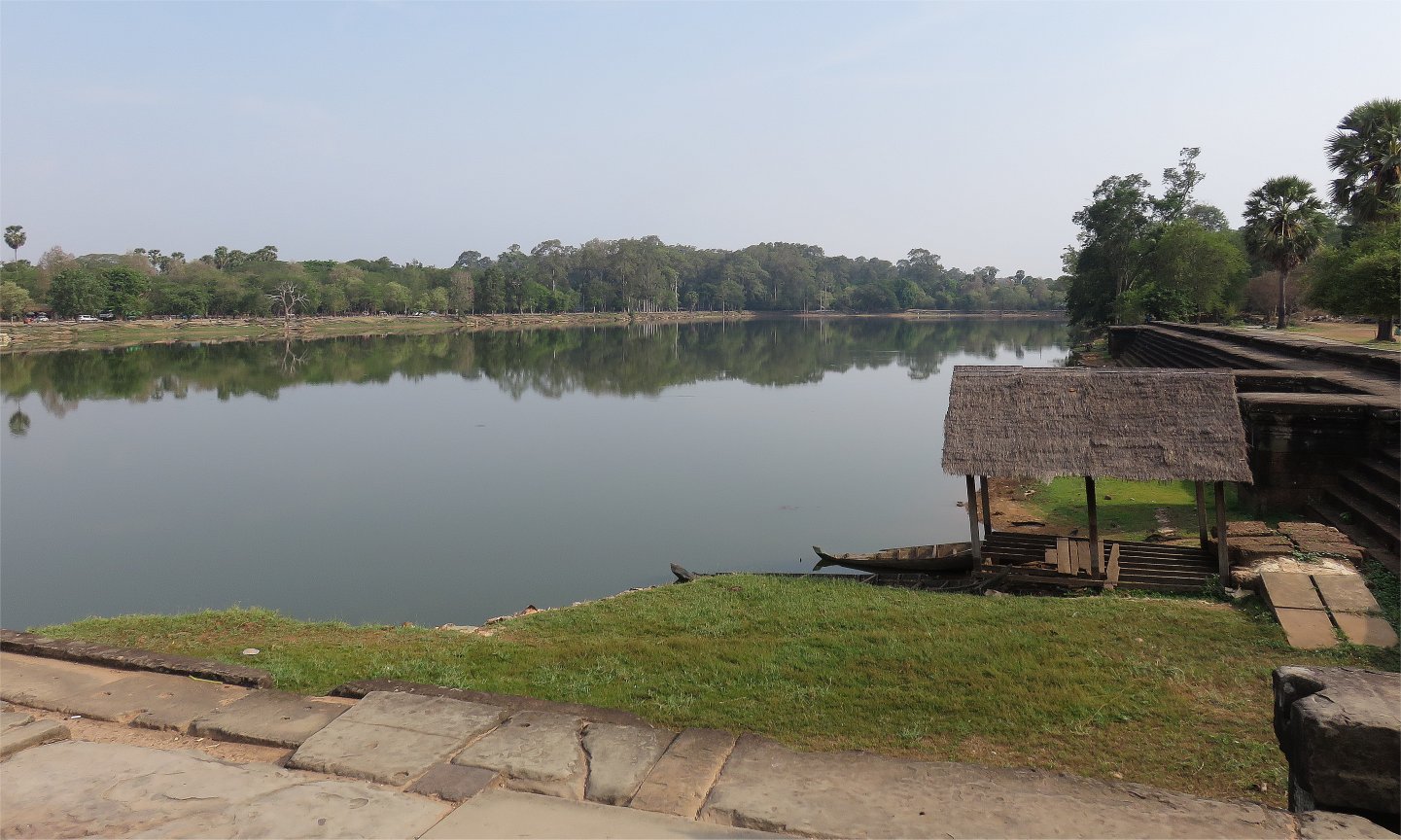
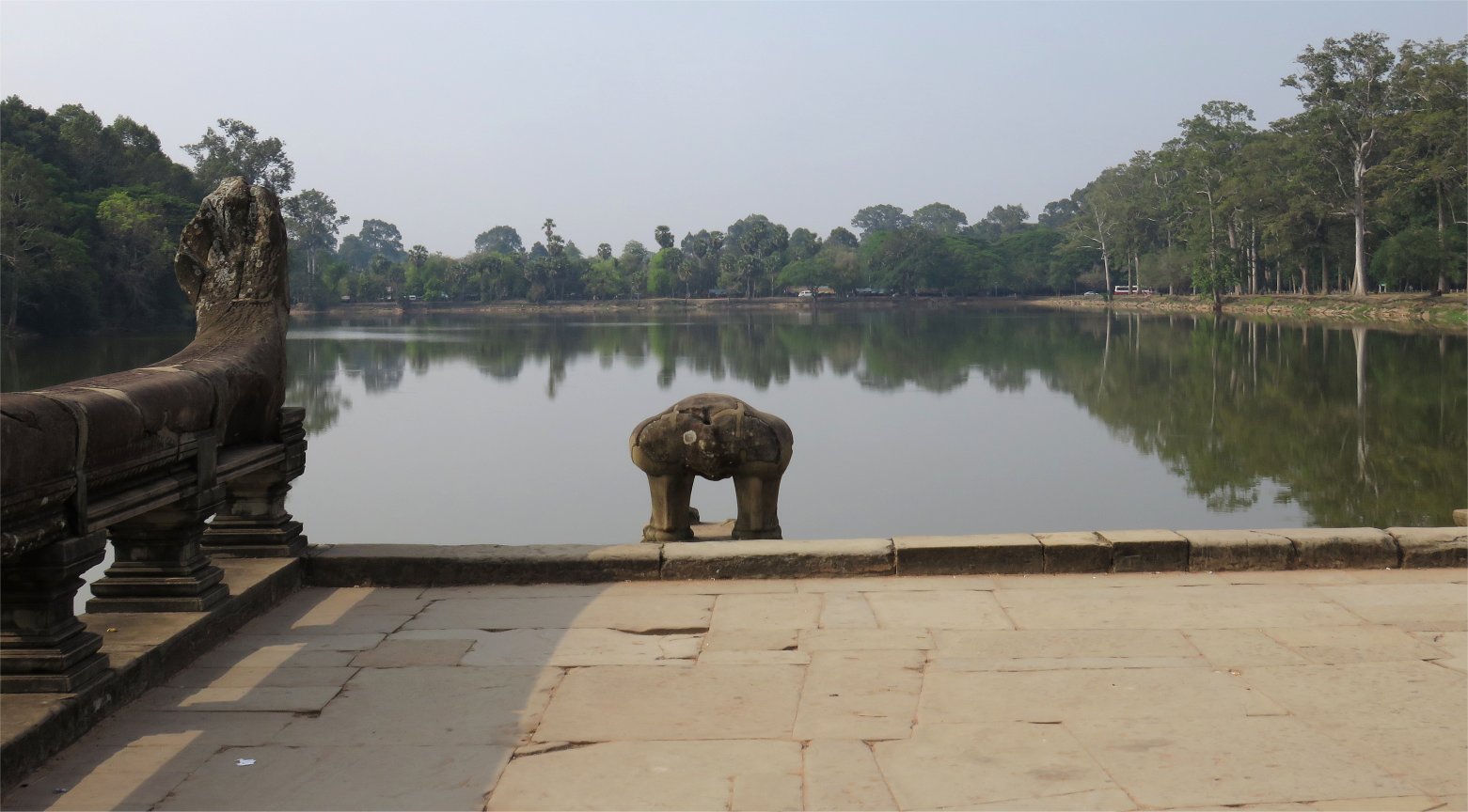
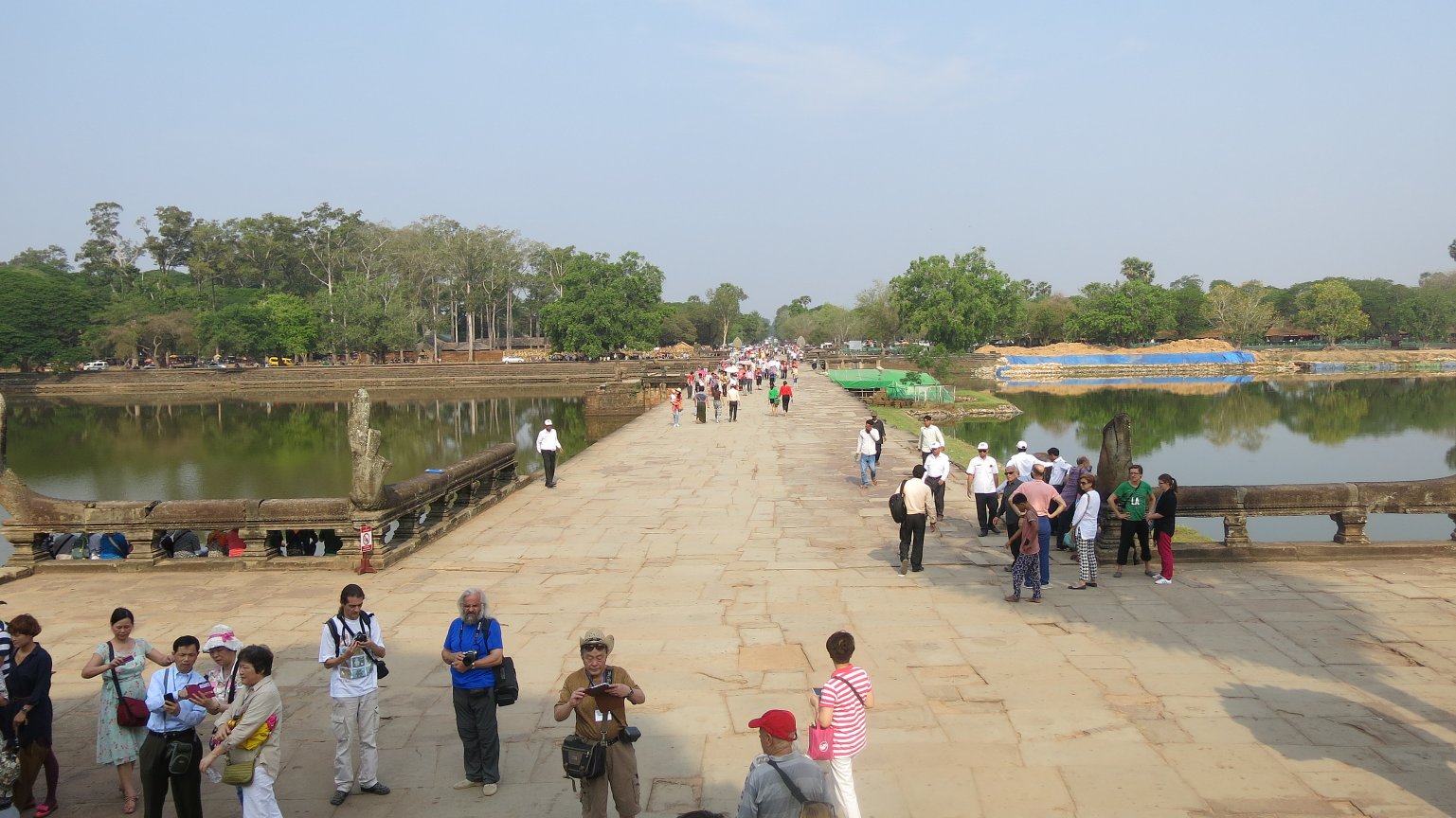
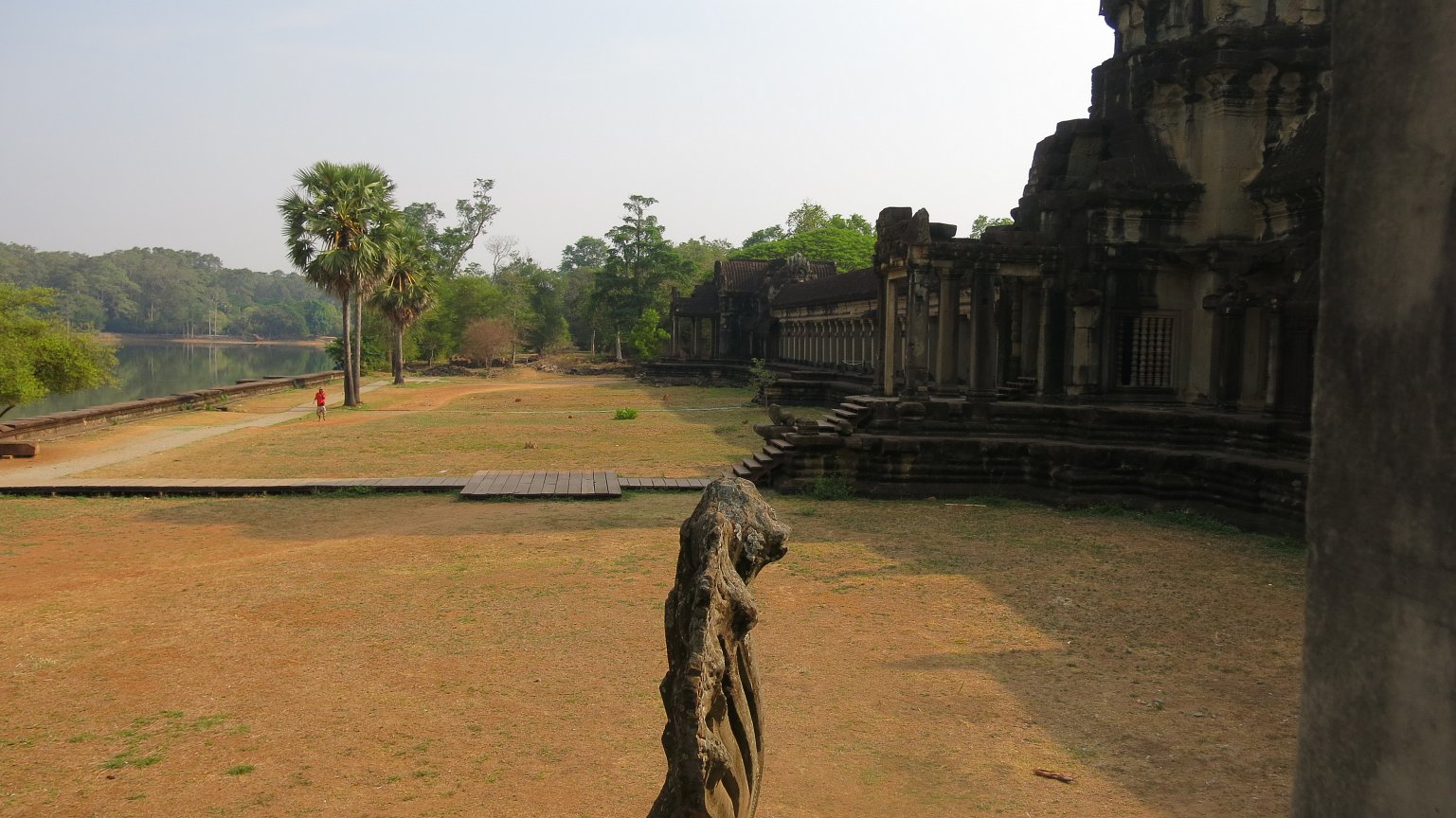
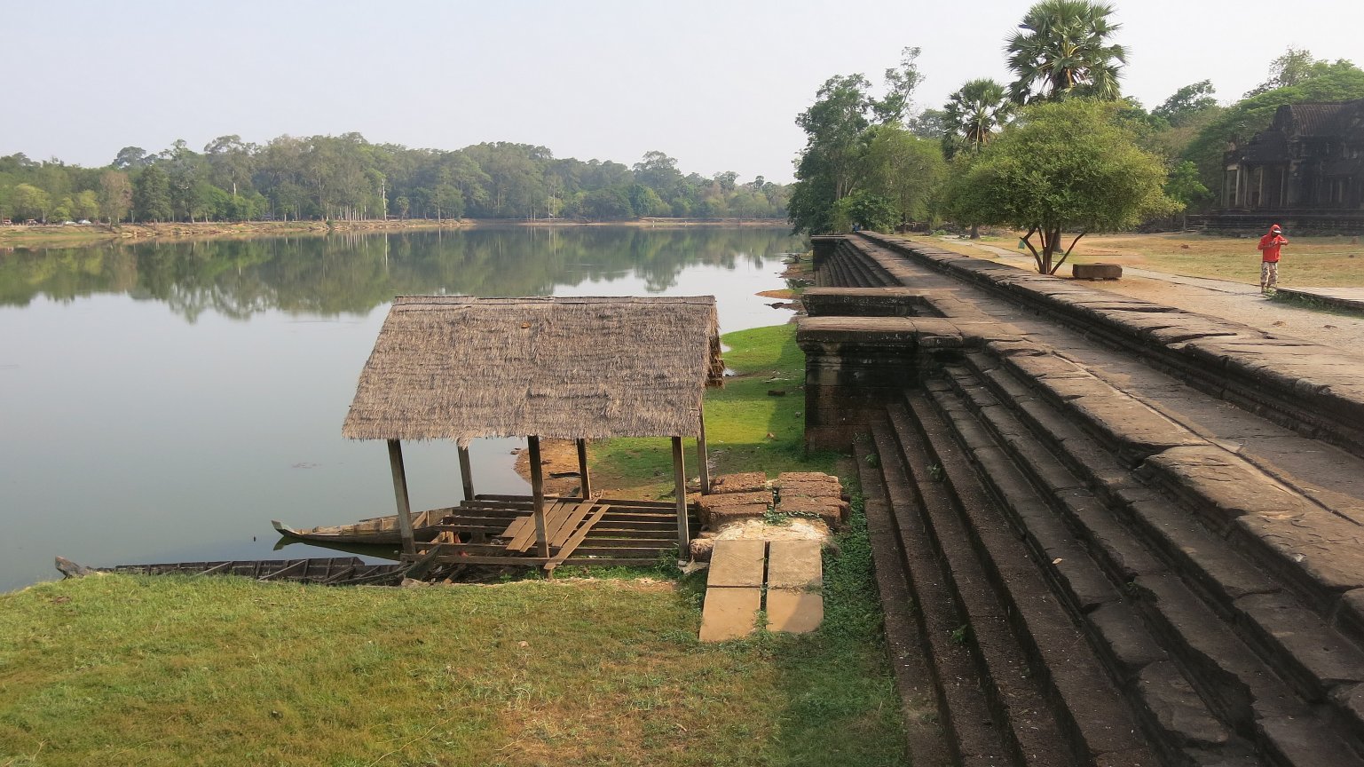
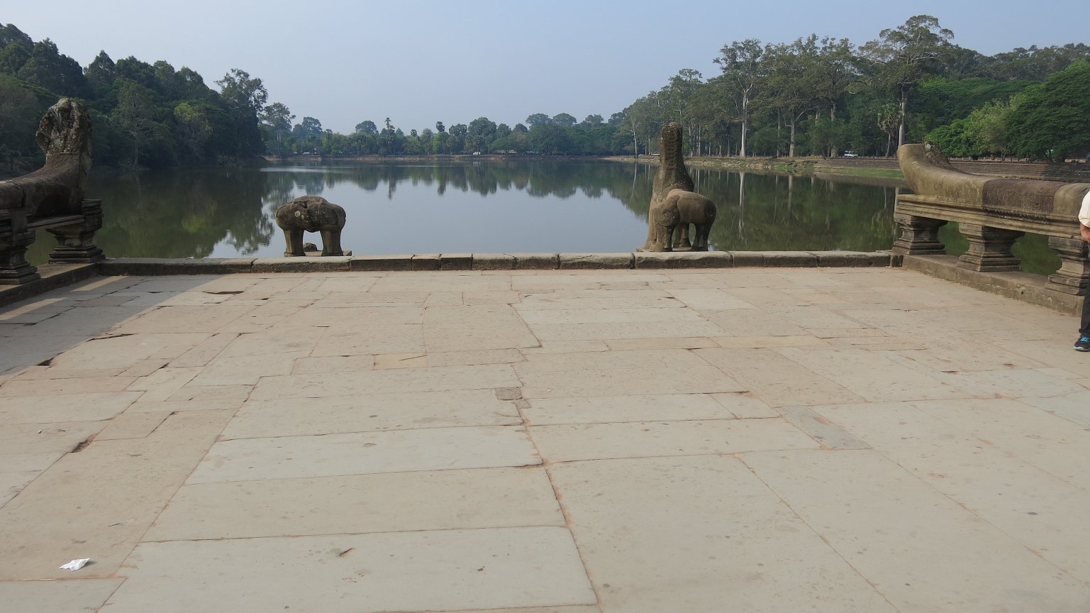
The Angkor temple complex, Cambodia's
top tourist destination and one of Asia's most famous landmarks, was constructed
in the 12th century. Angkor Wat is a point of deep pride for Cambodians,
appearing on the national flag, and was named a Unesco world heritage site.
Archaeologists had long suspected
that the city of Mahendraparvata lay hidden beneath a canopy of dense vegetation
atop Phnom Kulen mountain in Siem Reap province. But the airborne lasers
produced the first detailed map of a vast cityscape, including highways
and previously undiscovered temples.
"No one had ever mapped the city
in any kind of detail before, and so it was a real revelation to see the
city revealed in such clarity," University of Sydney archaeologist Damian
Evans, the study's lead author, said by phone from Cambodia. "It's really
remarkable to see these traces of human activity still inscribed into the
forest floor many, many centuries after the city ceased to function and
was overgrown."
The technology, known as lidar,
works by firing laser pulses from an aircraft to the ground and measuring
the distance to create a detailed, three-dimensional map of the area. It
is a useful tool for archaeologists because the lasers can penetrate dense
vegetation and cover swaths of ground far faster than they could be analysed
on foot. Lidar has been used to explore other archaeological sites, such
as Stonehenge.
In April 2012, researchers loaded
the equipment on to a helicopter, which spent days crisscrossing the dense
forests from 800 metres above the ground. A team of Australian and French
archaeologists then confirmed the findings with an expedition on foot through
the jungle.
Archaeologists had already spent
years doing ground research to map a 3.5 sq mile section of the city's
downtown area. But the lidar revealed the section was much bigger at
least 14 sq miles and more heavily populated than once believed.
"The real revelation is to find
that the downtown area is densely inhabited, formally-planned and bigger
than previously thought," Evans said. "To see the extent of things we missed
before has completely changed our understanding of how these cities were
structured."
Researchers do not yet know why
the civilisation at Mahendraparvata collapsed. But Evans said one current
theory is that possible problems with the city's water management system
may have driven people out.
The next step for researchers
involves excavating the site, which Evans hopes will reveal clues about
how many people once lived in the city.