MANITOBA PHOTO ARCHIVE L1
THE BRANDON FLOOD OF THREE CENTURIES: PART V:
May 9 and 10 ~ 2011
Shared from the City of Brandon FaceBook Site
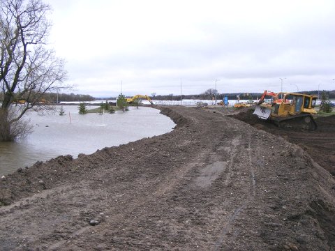
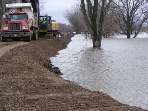
18. Conservation Drive
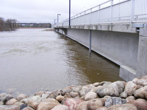
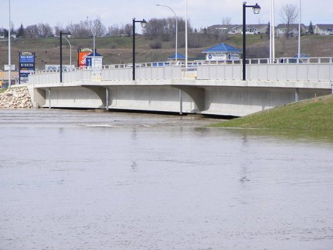
19. David Thompson Bridge, West
side looking North
20. Dike on West side of 1st
St.
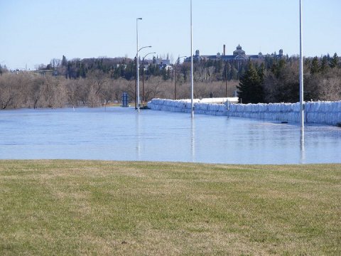
21. Discovery Centre
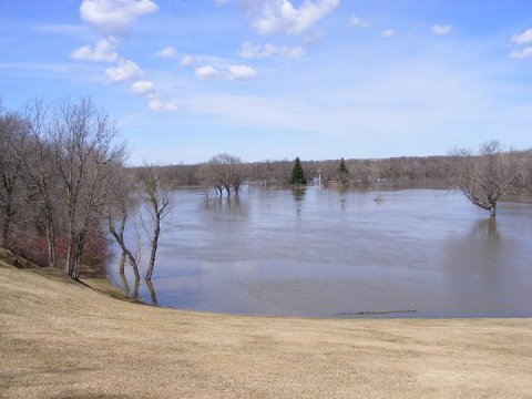
22. Golf Course
23. Grand Valley Road and 34th
St looking east
24. Kasiurak Bay looking East
25. Kasiurak Bay looking West
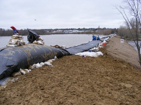
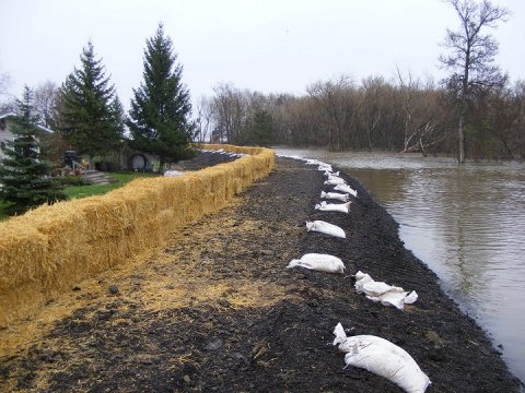
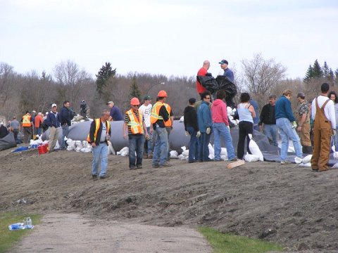
26. Preparing for aquadam on
dike by Co-op Feeds
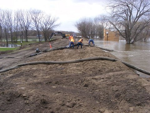
27. Relaying hoses after raising
dike east of the skating oval
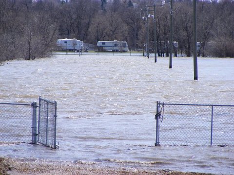
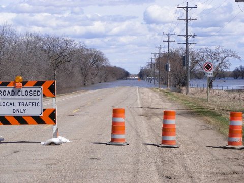
28. Turtle Crossing Campground
road
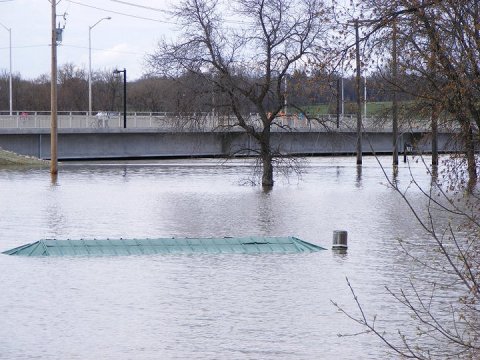
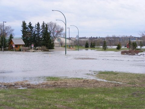
29. Roof of gazebo in Eleanor
Kidd Park
30. South side of river looking
west from 18th St.
31. Surveyors at 24th St. Outfall
32. Upstream side of David Thompson
Bridge from South Dike
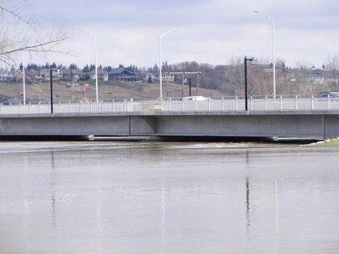
33. West side of David Thompson
Bridge
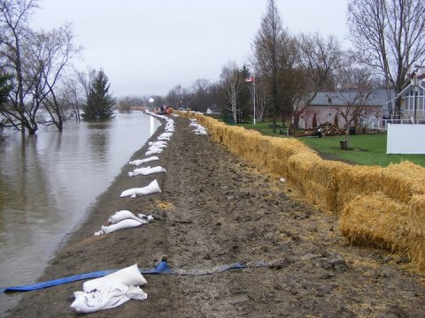
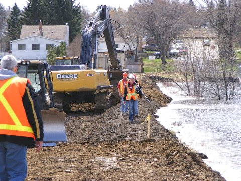
34. Workers and volunteers at
aquadam on Kirkcaldy Drive
Above Photos Copyright City of Brandon 2011